
Key Takeaways for Modern Kiters
- Digital literacy in kiting involves interpreting GRIB files and real-time wind telemetry.
- Forecasting apps help prevent "overpowering" accidents by predicting gust spikes.
- Data logging allows you to track progression and identify the best local wind windows.
- Combining satellite data with local sensors creates a more accurate picture of air currents.
Turning Weather Data into Actionable Insights
When we talk about digital literacy in the context of air sports, we aren't talking about knowing how to use a smartphone. We're talking about the ability to parse complex environmental data. Most kiters start by checking a basic weather app, but those are designed for people walking to a grocery store, not for someone dealing with aerodynamic lift. To truly master the wind, you need to move toward tools that provide high-resolution modeling.
Take Windy.com is a professional-grade weather visualization tool that uses GRIB files to map wind patterns. By learning to toggle between different forecast models, like the ECMWF (European Centre for Medium-Range Weather Forecasts) and the GFS (Global Forecast System), you can see where the models agree and where they clash. If the European model says 12 knots and the American GFS says 20, the digital literacy move is to realize the uncertainty is high and keep your smaller kite ready just in case.
The Tech Stack for Precise Forecasting
Depending on whether you are into kitesurfing, landboarding, or high-altitude power kiting, your toolset will vary. However, the core goal is always the same: predicting the "wind window" and stability. You want to avoid the "dead zone" where the wind drops and you're stranded, or the "danger zone" where the gusts exceed your gear's capacity.
| App/Tool | Primary Use | Key Attribute | Best For |
|---|---|---|---|
| Windy.com | Visual Forecasting | Multi-model comparison | Planning the week |
| Windfinder | Spot-specific Data | Station-based real-time reporting | Last-minute checks |
| PredictWind | High-Res Modeling | PWG Forecast (AI-driven) | Professional/Competition |
| Garmin Connect | Data Logging | GPS and Speed telemetry | Performance tracking |

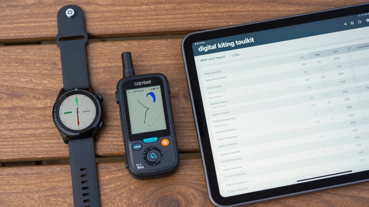
Mastering the Art of Data Logging
Forecasting gets you to the beach, but data logging tells you what actually happened. Many kiters ignore the "after-action report," but that's where the real growth happens. By using GPS Data Loggers are devices or apps that record spatial coordinates and velocity over time, you can create a heat map of where you spent the most time on the water.
If you're using a device like a Garmin watch or a dedicated Speedometer, you can correlate your top speeds with the wind speed reported by local stations. For example, if you hit 25 knots on a day when the station reported a steady 18 knots, you can deduce that your kite efficiency or your angle of attack was optimal. This is essentially a scientific approach to a hobby: observation, measurement, and adjustment.
Avoiding the "App Trap"
There is a common mistake where beginners trust the app more than their own eyes. This is a failure of digital literacy. A phone app tells you the average wind speed at a specific altitude, usually 10 meters. It doesn't tell you that the buildings behind you are creating a massive wind shadow or that the temperature gradient is causing unstable thermals.
To avoid this, use the "triangulation method." Check the long-range forecast on PredictWind, verify the current conditions via a real-time station on Windfinder, and then perform a physical "wind check" using a handheld anemometer or by simply watching the flags on the beach. The app provides the hypothesis; the beach provides the proof.
Building a Digital Kite Journal
For those looking to move from amateur to expert, keeping a digital log is non-negotiable. Instead of just noting "it was windy," record specific variables. Create a spreadsheet or use a note-taking app to log:
- Kite Size: Which kite did you use (e.g., 9m vs 12m)?
- Wind Speed: What was the actual gust range?
- Wind Direction: Was it side-onshore, offshore, or cross-shore?
- Equipment Performance: Did the board feel too heavy for the conditions?
Over six months, this data reveals patterns. You might find that every time the wind comes from the Northwest at 15 knots, the current at your favorite spot becomes too strong to handle. This level of insight is only possible when you treat your hobby as a data-driven activity.
The Future of Air Sports and AI
We are seeing a shift toward AI-integrated forecasting. Newer systems aren't just looking at pressure maps; they are analyzing historical patterns using machine learning to predict micro-climates. This means that in the near future, your app might tell you, "The wind usually drops in this specific cove around 3 PM," based on five years of logged data from other users.
As these tools become more accessible, the definition of a "skilled kiter" is expanding. It's no longer just about how well you can jump; it's about how well you can manage the information ecosystem around the sport. Being digitally literate means you spend less time fighting the wind and more time gliding with it.
What is the most accurate app for wind forecasting?
No single app is 100% accurate because wind is chaotic. However, using a combination is best. For visual patterns and global trends, Windy.com is excellent. For specific local station data, Windfinder is often more reliable. For high-precision, AI-backed forecasting, PredictWind's PWG model is generally considered the gold standard for professionals.
How does data logging help me improve my kiting?
Data logging allows you to identify the exact wind conditions that match your gear. By recording the kite size and the actual wind speed, you can stop guessing which kite to bring. Additionally, tracking your GPS speed helps you measure progress in your board control and efficiency.
What are GRIB files and why do they matter?
GRIB (Gridded Binary) files are a compressed format used by meteorologists to share weather data. Apps like Windy use these to create those colorful wind maps. Understanding that different models (like GFS or ECMWF) produce different GRIB files helps you understand why forecasts sometimes disagree.
Is a handheld anemometer better than an app?
Yes, for the immediate moment. Apps give you a regional average or a station's reading, but a handheld anemometer tells you exactly what the wind is doing at your specific launch spot. The app is for planning; the anemometer is for safety.
Can digital literacy actually improve safety?
Absolutely. Many accidents happen because kiters misjudge the wind strength or ignore signs of an incoming front. Being able to read a pressure map or recognize a "wind shear" forecast can prevent you from launching in dangerous conditions or getting caught in a sudden storm.
Next Steps for Your Digital Toolkit
If you're just starting, don't try to master everything at once. Start by downloading one forecasting app and simply comparing its prediction to the actual wind you feel for two weeks. Once you trust the data, start a basic log in a digital notebook. For the pros, the next step is integrating a wearable GPS tracker to analyze your lines and speed. The goal isn't to become a computer scientist-it's to use these tools to spend more time in the air and less time wondering why the wind stopped.